1/3


GIS4Mobile
1K+Downloads
63.5MBSize
4.8.57(20-05-2025)Latest version
DetailsReviewsVersionsInfo
1/3

Description of GIS4Mobile
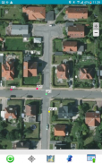
Map collector for GIS.
GIS4Mobile is the most flexible and userfriendly way to collect data in the field.
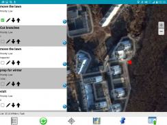
Inspections, documentation, surveys and registration - all is possible with GIS4Mobile.
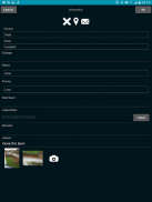
Design your own forms for data collecting.
You can connect your private storage (DB/GIS), and you can syncronize your data with the collected field data.
GIS4Mobile is optimized for offline usage, and enhanced productivity.
GIS4Mobile - APK Information
APK Version: 4.8.57Package: com.g4m.gis4mobilexName: GIS4MobileSize: 63.5 MBDownloads: 72Version : 4.8.57Release Date: 2025-05-20 11:00:17Min Screen: SMALLSupported CPU: x86, x86-64, armeabi-v7a, arm64-v8a
Package ID: com.g4m.gis4mobilexSHA1 Signature: B3:60:9E:2D:DE:74:1B:1E:E6:1C:82:E9:BF:48:26:CB:E7:18:83:16Developer (CN): Anton SoldatovOrganization (O): FlexibleSolutionsLocal (L): Country (C): State/City (ST): Package ID: com.g4m.gis4mobilexSHA1 Signature: B3:60:9E:2D:DE:74:1B:1E:E6:1C:82:E9:BF:48:26:CB:E7:18:83:16Developer (CN): Anton SoldatovOrganization (O): FlexibleSolutionsLocal (L): Country (C): State/City (ST):
Latest Version of GIS4Mobile
4.8.57
20/5/202572 downloads63.5 MB Size
Other versions
4.8.50
16/12/202472 downloads53.5 MB Size
4.8.40
26/11/202472 downloads53.5 MB Size
4.8.38
18/11/202472 downloads53.5 MB Size
4.7.24
14/8/202472 downloads41.5 MB Size


